Asplenium trichomanes
Aspleniaceae
Common Spleenwort
Display all 6 images

")
")
")
")
")
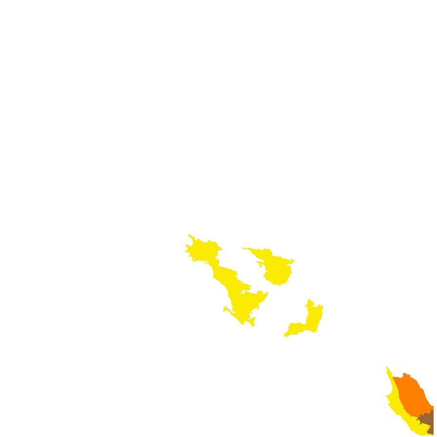
Regional Species Conservation Assessments per IBRA subregion.

Least concern
Near threatened
Rare
Vulnerable
Endangered
Critically endangered
Extinct
Data deficient
Adelaide
Arkaroola
Ceduna
Coober Pedy
Hawker
Innamincka
Marla
Marree
Mount Gambier
Oodnadatta
Renmark
Wudinna
Keith
Yunta
Display IBRA region text
Botanical art
Distribution and status
Herbarium regions: Eyre Peninsula, Yorke Peninsula, South Eastern
NRM regions: Eyre Peninsula, Northern and Yorke, South East
AVH map: SA distribution map (external link)