Display all 13 images


Regional Species Conservation Assessments per IBRA subregion.


Least concern
Near threatened
Rare
Vulnerable
Endangered
Critically endangered
Extinct
Data deficient
Adelaide
Arkaroola
Ceduna
Coober Pedy
Hawker
Innamincka
Marla
Marree
Mount Gambier
Oodnadatta
Renmark
Wudinna
Keith
Yunta
Display IBRA region text
| Lucindale (NCP03) | Naracoorte Coastal Plain | Rare (IUCN: RA d(ii)) |
| Tintinara (NCP04) | | Least Concern [undercollected] |
| Fleurieu (KAN02) | Kanmantoo | Near Threatened |
| Mount Lofty Ranges (FLB01) | Flinders Lofty Block | Near Threatened |
| Broughton (FLB02) | | Least Concern |
| Olary Spur (FLB03) | | Least Concern |
| Southern Flinders (FLB04) | | Least Concern |
| Northern Flinders (FLB05) | | Least Concern [on rocky hillsides] |
| Central Flinders (FLB06) | | Least Concern [on rocky hillsides] |
| Southern Yorke (EYB01) | Eyre Yorke Block | Least Concern (Probable Decline) |
| St Vincent (EYB02) | | Least Concern (Probable Decline) |
| Eyre Hills (EYB03) | | Least Concern |
| Talia (EYB04) | | Least Concern |
| Eyre Mallee (EYB05) | | Least Concern |
| South Olary Plain (MDD01) | Murray Darling Depression | Least Concern |
| Murray Mallee (MDD02) | | Least Concern |
| Murray Lakes and Coorong (MDD03) | | Rare (IUCN: RA d(ii)) (Probable Decline) |
| Lowan Mallee (MDD04) | | Least Concern |
| Wimmera (MDD05) | | Vulnerable (IUCN: VU D2) [could be extinct] |
| Braemer (MDD07) | | Least Concern |
| Murray Scroll Belt (RIV06) | Riverina | Least Concern |
| Myall Plains (GAW01) | Gawler | Least Concern |
| Gawler Volcanics (GAW02) | | Least Concern |
| Gawler Lakes (GAW03) | | Least Concern |
| Arcoona Plateau (GAW04) | | Least Concern |
| Kingoonya (GAW05) | | Least Concern |
| Torrens (GAW06) | | Near Threatened [edge of range] |
| Roxby (GAW07) | | Near Threatened [edge of range] |
| Commonwealth Hill (GAW08) | | Near Threatened [edge of range] |
| Maralinga (GVD03) | Great Victoria Desert | Least Concern |
| Yellabinna (GVD06) | | Least Concern |
| Nullarbor Plain (NUL02) | Nullarbor | Least Concern |
| Yalata (NUL03) | | Least Concern |
| Barrier Range (BHC01) | Broken Hill Complex | Least Concern |
| Barrier Range Outwash (BHC04) | | Least Concern |
| Bimbowrie (BHC05) | | Least Concern |
| Curnamona (BHC06) | | Least Concern |
| Dieri (SSD03) | Simpson Strzelecki Dunefields | Data Deficient |
| Breakaways (STP01) | Stony Plains | Near Threatened [edge of range] |
| Murnpeowie (STP03) | | Near Threatened [edge of range] |
| Baltana (STP07) | | Near Threatened [edge of range] |
| 2 of 4 subregions | Naracoorte Coastal Plain | Least Concern , Rare |
| Fleurieu (KAN02) | Kanmantoo | Near Threatened |
| 6 of 6 subregions | Flinders Lofty Block | Least Concern , Near Threatened |
| 5 of 5 subregions | Eyre Yorke Block | Least Concern |
| 6 of 6 subregions | Murray Darling Depression | Least Concern , Rare , Vulnerable |
| Murray Scroll Belt (RIV06) | Riverina | Least Concern |
| 8 of 8 subregions | Gawler | Least Concern , Near Threatened |
| 2 of 4 subregions | Great Victoria Desert | Least Concern |
| 2 of 3 subregions | Nullarbor | Least Concern |
| 4 of 4 subregions | Broken Hill Complex | Least Concern |
| Dieri (SSD03) | Simpson Strzelecki Dunefields | Data Deficient |
| 3 of 7 subregions | Stony Plains | Near Threatened |
Botanical art
Kath Alcock paintings: 4
Prior names
Pteropogon pygmaeum
Helipterum pygmaeum
Helipterum pygmaeum var. occidentale
Common names
Pigmy Sunray
Pigmy Daisy
Distribution and status
Herbarium regions: North Western, Lake Eyre, Nullarbor, Gairdner-Torrens, Flinders Ranges, Eastern, Eyre Peninsula, Northern Lofty, Murray, Yorke Peninsula, Southern Lofty, South Eastern, Green Adelaide
NRM regions: Adelaide and Mount Lofty Ranges, Alinytjara Wilurara, Eyre Peninsula, Northern and Yorke, South Australian Arid Lands, South Australian Murray-Darling Basin, South East
AVH map: SA distribution map (external link)
| Location | No. of seeds
(weight grams) | Number
of plants | Date
collected | Collection number
Collection location | Date
stored | % Viability | Storage
temperature | BGA
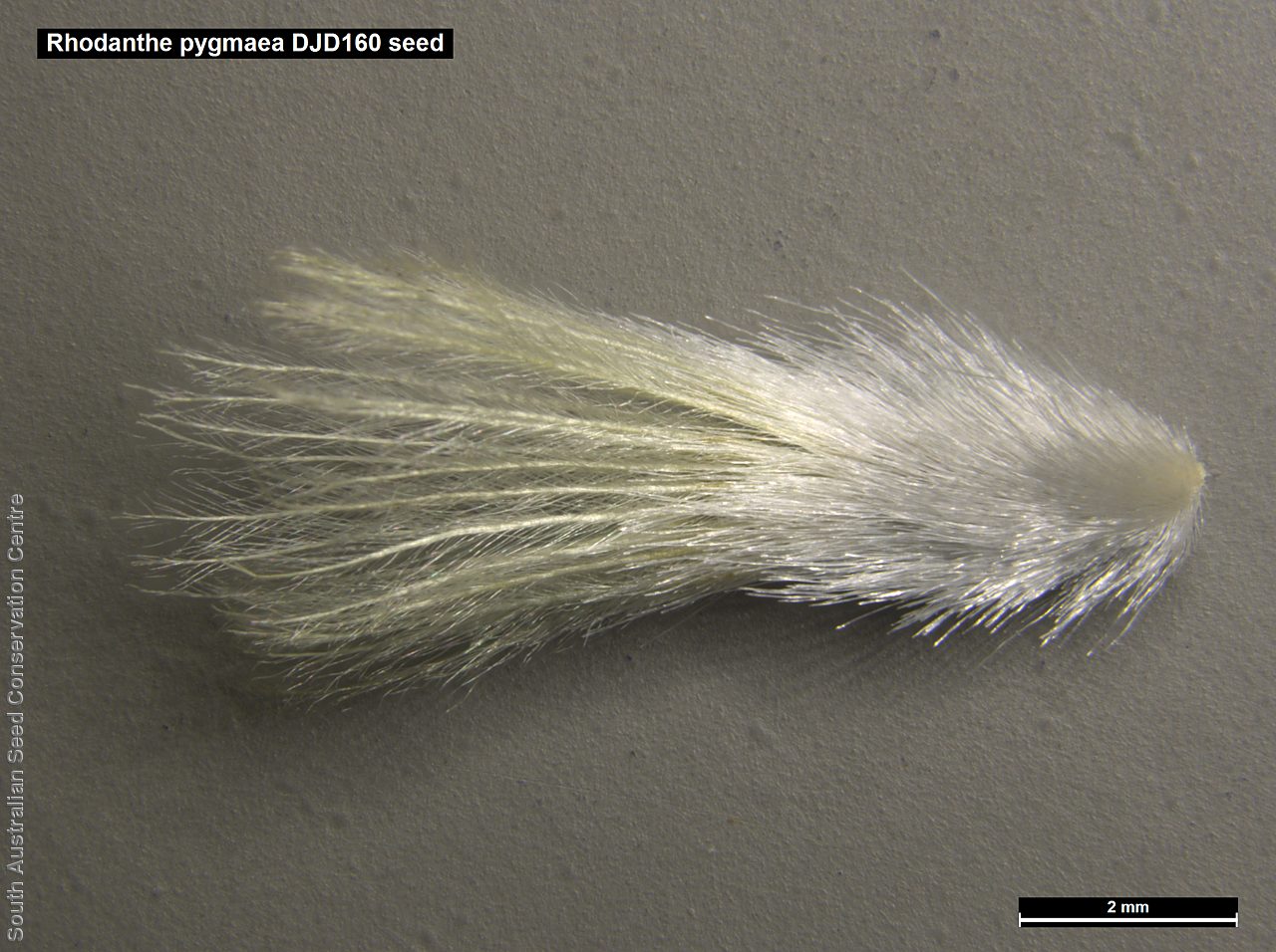
MSB | 7,500 (12.91 g)
7,500 (12.91 g) | 100+ | 1-Nov-2005 | DJD160
Eyre Peninsula | 14-Sep-2006 | 95% | -18°C |
Location: BGA — the seeds are stored at the Adelaide Botanic Gardens, MSB — the seeds are stored at the Millennium Seed Bank, Kew, England.
Number of plants: This is the number of plants from which the seeds were collected.
Collection location: The Herbarium of South Australia's region name.
% Viability: Percentage of filled healthy seeds determined by a cut test or x-ray.


